

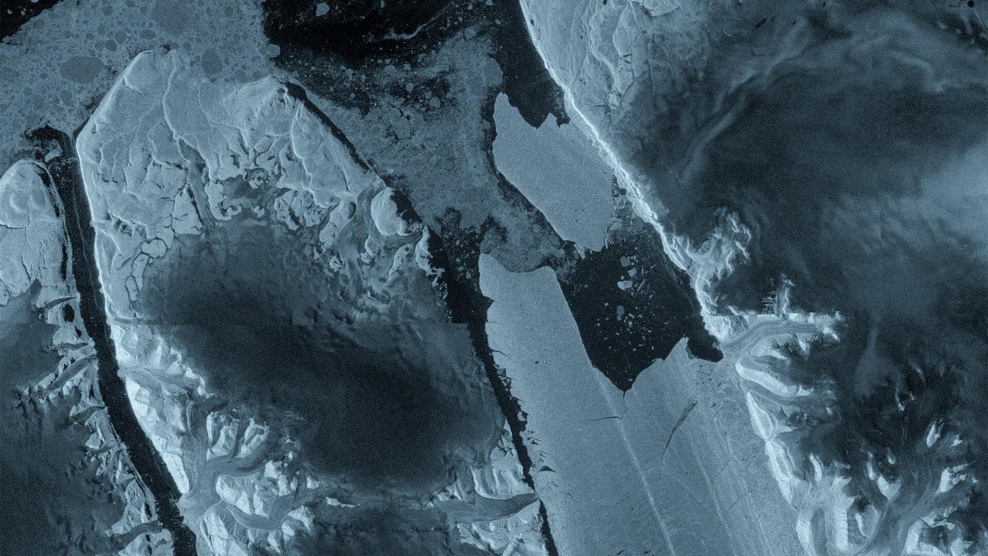
The massive glaciers of Greenland are disappearing right before our very eyes in new satellite imagery.
What is it?
Petermann Glacier in northwest Greenland connects the Greenland ice sheet to the Arctic ocean. Petermann's "ice tongue" has previously measured 43 miles (70 kilometers) long and 9 miles (15 km) wide. But new satellite imagery has revealed the glacier's floating "ice tongue" has broken apart ...



 English (US)